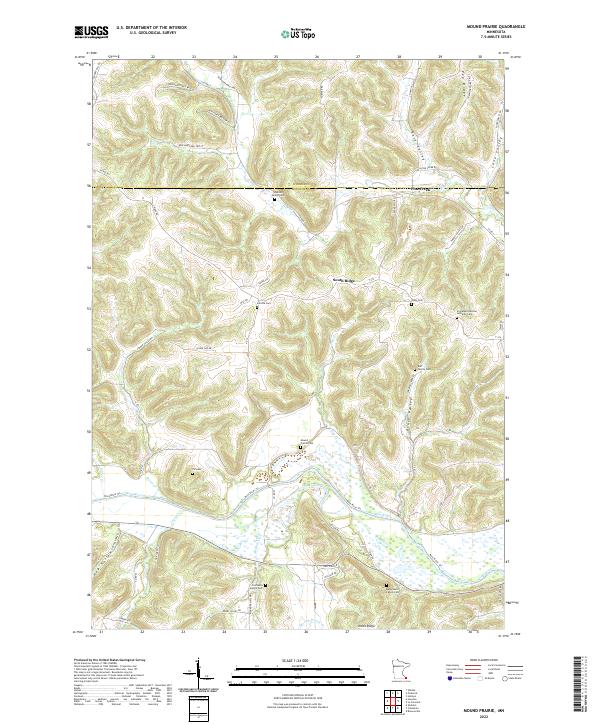
2022 Map of Mound Prairie
USGS Topo · Published 2022About this map
South Ridge and Union Ridge overlook a landscape deeply carved by the Root River and its numerous tributaries in this part of Houston County. The terrain is characterized by high ridges like Pea Ridge and narrow valleys such as Rose Valley and Lane Valley. This sheet is an exceptional resource for genealogical research, documenting a high density of family burial grounds including the Fairbanks Family Cem, Hargreaves Family Cem, Ruff Family Cem, and Sheldon Family Cem. The presence of the Immanuel German Lutheran Cem suggests the specific cultural heritage of the early settlers who farmed these coulees. The complex drainage network, including Mound Prairie Cr, Crystal Cr, and Pine Creek, illustrates the hydraulic patterns that dictated settlement along the valley floors and ridges.
Find a feature on this map
74 named features on this map. Tap any name to fly to it.
Don’t see what you’re looking for? This feature index may not catch every label — zoom into the map to look around manually.
Map Details
Editions of this 2022 Mound Prairie Map
This is the sole edition of this map. No revisions or reprints were ever made.
Other maps of this area

1930 · La Crescent
USGS Topo · 1:62,500

1956 · Brownsville
USGS Topo · 1:62,500

1956 · La Crescent
USGS Topo · 1:62,500

1958 · Houston
USGS Topo · 1:62,500

1958 · La Crosse
USGS Topo · 1:250,000

1961 · La Crosse
USGS Topo · 1:250,000

1965 · La Crosse
USGS Topo · 1:250,000

1965 · Sheldon
USGS Topo · 1:24,000
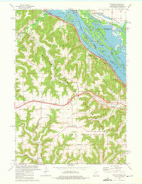
1973 · Pickwick
USGS Topo · 1:24,000
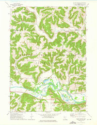
1973 · Mound Prairie
USGS Topo · 1:24,000