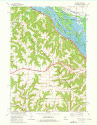
1973 Map of Pickwick
USGS Topo · Published 1975About this map
Upper Mississippi River Wild Life and Fish Refuge dominates the eastern edge of this survey, where the river channel winds through a complex of islands like Richmond Island and Pigeon Island. The dramatic bluffs of the Minnesota Memorial Hardwood State Forest overlook the water, with named heights such as Kings Bluff and Queens Bluff rising sharply above the Chicago Milwaukee St Paul and Pacific rail line that hugs the shoreline.
Find a feature on this map
50 named features on this map. Tap any name to fly to it.
Don’t see what you’re looking for? This feature index may not catch every label — zoom into the map to look around manually.
Map Details
Editions of this 1973 Pickwick Map
2 editions found
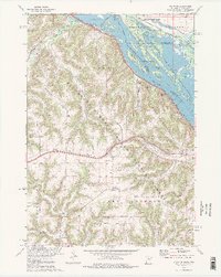
Other maps of this area

1929 · Fountain City
USGS Topo · 1:62,500

1929 · Galesville
USGS Topo · 1:62,500

1930 · La Crescent
USGS Topo · 1:62,500

1934 · Winona
USGS Topo · 1:62,500

1937 · Winona
USGS Topo · 1:62,500

1953 · Eau Claire
USGS Topo · 1:250,000

1956 · La Crescent
USGS Topo · 1:62,500

1958 · Eau Claire
USGS Topo · 1:250,000

1958 · Houston
USGS Topo · 1:62,500

1958 · La Crosse
USGS Topo · 1:250,000