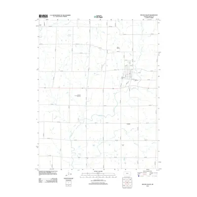
2012 Map of Mound Valley
USGS Topo · Published 2012About this map
Mound Valley Cem and the surrounding grid of Labette County farm roads anchor this 2012 study of a classic Kansas agricultural landscape. The town center is defined by a dense cluster of streets, including Main and Hickory St, while the outlying areas reveal a network of rural watercourses like Pumpkin Cr and Richland Cr. A prominent geographic feature, Dixon Mound, rises above the plains north of the main settlement.
Find a feature on this map
55 named features on this map. Tap any name to fly to it.
Don’t see what you’re looking for? This feature index may not catch every label — zoom into the map to look around manually.
Map Details
Editions of this 2012 Mound Valley Map
This is the sole edition of this map. No revisions or reprints were ever made.
Other maps of this area

1886 · Independence
USGS Topo · 1:125,000

1886 · Parsons
USGS Topo · 1:125,000

1893 · Parsons
USGS Topo · 1:125,000

1894 · Independence
USGS Topo · 1:125,000

1905 · Independence
USGS Topo · 1:125,000

1945 · Parsons
USGS Topo · 1:62,500

1946 · Parsons
USGS Topo · 1:62,500

1946 · Mound Valley
USGS Topo · 1:62,500

1947 · Parsons
USGS Topo · 1:62,500

1947 · Joplin
USGS Topo · 1:250,000