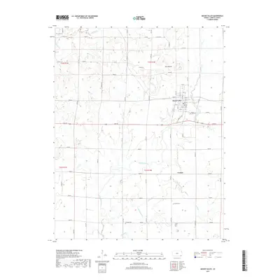
2018 Map of Mound Valley
USGS Topo · Published 2018About this map
Mound Valley serves as the primary population center on this landscape in Labette County, defined by its grid of named streets including Walnut St, Hickory St, and Pecan St. The surrounding countryside is primarily agricultural, punctuated by several established burial grounds that offer significant value for genealogical research, such as Mound Valley Cem and the more remote Griffith Cem in the northwest corner.
Find a feature on this map
61 named features on this map. Tap any name to fly to it.
Don’t see what you’re looking for? This feature index may not catch every label — zoom into the map to look around manually.
Map Details
Editions of this 2018 Mound Valley Map
This is the sole edition of this map. No revisions or reprints were ever made.
Other maps of this area

1886 · Independence
USGS Topo · 1:125,000

1886 · Parsons
USGS Topo · 1:125,000

1893 · Parsons
USGS Topo · 1:125,000

1894 · Independence
USGS Topo · 1:125,000

1905 · Independence
USGS Topo · 1:125,000

1945 · Parsons
USGS Topo · 1:62,500

1946 · Parsons
USGS Topo · 1:62,500

1946 · Mound Valley
USGS Topo · 1:62,500

1947 · Parsons
USGS Topo · 1:62,500

1947 · Joplin
USGS Topo · 1:250,000