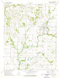
1974 Map of Mound Valley
USGS Topo · Published 1976About this map
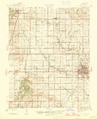
The town of Mound Valley serves as the central hub of this Labette County survey, situated at the intersection of two major rail lines: the St Louis - San Francisco and the Missouri - Kansas - Texas railroads. The landscape is defined by the winding course of Pumpkin Creek and Big Hill Creek, which carve through the terrain alongside specialized land uses such as the Southeast Kansas Agricultural Experiment Station.
Find a feature on this map
26 named features on this map. Tap any name to fly to it.
Don’t see what you’re looking for? This feature index may not catch every label — zoom into the map to look around manually.
Map Details
Editions of this 1974 Mound Valley Map
This is the sole edition of this map. No revisions or reprints were ever made.
Other maps of this area

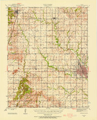
1886 · Independence
USGS Topo · 1:125,000

1886 · Parsons
USGS Topo · 1:125,000

1893 · Parsons
USGS Topo · 1:125,000

1894 · Independence
USGS Topo · 1:125,000

1905 · Independence
USGS Topo · 1:125,000
1945 · Parsons
USGS Topo · 1:62,500
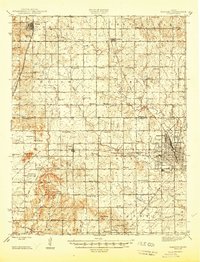
1946 · Parsons
USGS Topo · 1:62,500
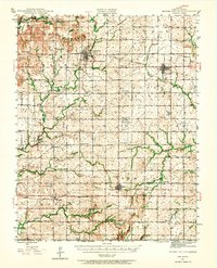
1946 · Mound Valley
USGS Topo · 1:62,500
1947 · Parsons
USGS Topo · 1:62,500

1947 · Joplin
USGS Topo · 1:250,000