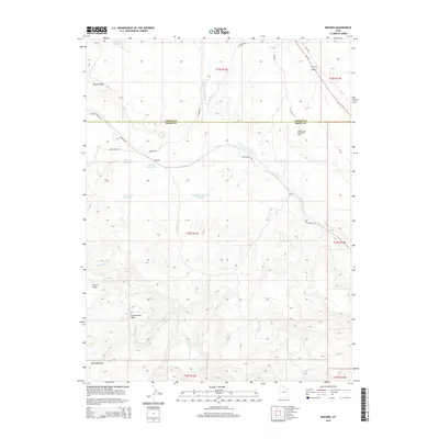
2014 Map of Mounds
USGS Topo · Published 2014About this map
Grassy Trail Creek winds through this arid landscape at the boundary of Carbon and Emery Counties, defining a region marked by vital water management and energy extraction. The settlement of Mounds and the nearby Verde serve as focal points in a territory where industrial infrastructure, such as the Grassy Trail Oil and Gas Field, exists alongside significant water features like Mounds Reservoir and Spider Reservoir.
Find a feature on this map
30 named features on this map. Tap any name to fly to it.
Don’t see what you’re looking for? This feature index may not catch every label — zoom into the map to look around manually.
Map Details
Editions of this 2014 Mounds Map
This is the sole edition of this map. No revisions or reprints were ever made.
Other maps of this area

1886 · Price River
USGS Topo · 1:250,000

1896 · Price River
USGS Topo · 1:250,000

1915 · Sunnyside
USGS Topo · 1:62,500

1915 · Wellington
USGS Topo · 1:62,500

1948 · Woodside
USGS Topo · 1:62,500

1949 · Woodside
USGS Topo · 1:62,500

1950 · Woodside
USGS Topo · 1:62,500

1956 · Price
USGS Topo · 1:250,000

1960 · Price
USGS Topo · 1:250,000

1962 · Price
USGS Topo · 1:250,000