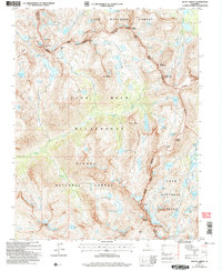
2004 Map of Mount Abbot
USGS Topo · Published 2007About this map
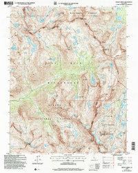
Mount Abbot stands as the central landmark of this high-altitude survey, marking a significant intersection where the boundaries of Fresno, Mono, and Inyo counties meet. The landscape is defined by the high crest of the Mono Divide and the Silver Divide, separating the drainages of Mono Creek and Hilton Creek. To the east, the Little Lakes Valley contains a dense concentration of water bodies including Long Lake, Chickenfoot Lake, and Ruby Lake. This 2004 revision details the protected lands of the John Muir Wilderness, spanning portions of the Inyo and Sierra National Forests. Notable trail access points such as Mono Pass, Hopkins Pass, and Morgan Pass illustrate the historical transit routes through this formidable granite terrain.
Find a feature on this map
70 named features on this map. Tap any name to fly to it.
Don’t see what you’re looking for? This feature index may not catch every label — zoom into the map to look around manually.
Map Details
Editions of this 2004 Mount Abbot Map
2 editions found
Other maps of this area

1912 · Mt. Goddard
USGS Topo · 1:125,000

1914 · Mt. Morrison
USGS Topo · 1:125,000

1947 · Mariposa
USGS Topo · 1:250,000

1948 · Mariposa
USGS Topo · 1:250,000

1949 · Mt. Tom
USGS Topo · 1:62,500

1951 · Mt. Tom
USGS Topo · 1:62,500

1953 · Mt. Morrison
USGS Topo · 1:62,500

1953 · Casa Diablo Mtn
USGS Topo · 1:62,500

1953 · Mt Abbot
USGS Topo · 1:62,500
1954 · Mt. Tom
USGS Topo · 1:62,500