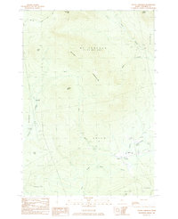
1984 Map of Mount Abraham
USGS Topo · Published 1985About this map
The high peaks of the western mountains dominate this 1984 survey, centered on the massive prominence of Mount Abraham (T 4 R 1 B K P W K R) and Spalding Mtn. The landscape is defined by the headwaters of the West Branch Carrabassett River and Quick Stream, where the small settlement of Salem sits at a crossroads near the Mt Abram High Sch. Along the eastern edge of the quadrangle, an Old RR Grade follows the river valley, marking the path of former narrow-gauge rail operations that once served the region's timber industry.
Find a feature on this map
24 named features on this map. Tap any name to fly to it.
Don’t see what you’re looking for? This feature index may not catch every label — zoom into the map to look around manually.
Map Details
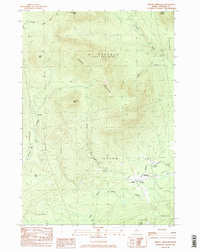
Editions of this 1984 Mount Abraham Map
2 editions found
Other maps of this area

1928 · Dead River
USGS Topo · 1:62,500

1928 · Stratton
USGS Topo · 1:48,000

1929 · Phillips
USGS Topo · 1:48,000

1930 · Kingfield
USGS Topo · 1:48,000

1931 · Dead River
USGS Topo · 1:48,000

1932 · Phillips
USGS Topo · 1:62,500

1932 · Stratton
USGS Topo · 1:62,500

1932 · Kingfield
USGS Topo · 1:62,500

1944 · Dead River
USGS Topo · 1:62,500

1949 · Jackman
USGS Topo · 1:250,000