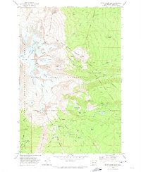
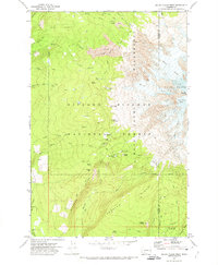
1970 Map of Mount Adams East
USGS Topo · Published 1974About this map
The eastern slopes of Mount Adams are defined here by a dramatic transition from glacial ice to volcanic debris and alpine meadows. The Yakima Indian Reservation covers the eastern half of the map, separated from the Gifford Pinchot National Forest and the Mount Adams Wilderness by the historic Pecore Line (1920-22) and Campbell Line (1906). These survey lines track across a landscape carved by the Klickitat Glacier and Mazama Glacier, which feed into high-elevation water bodies like Bird Lake and Mirror Lake.
Find a feature on this map
77 named features on this map. Tap any name to fly to it.
Don’t see what you’re looking for? This feature index may not catch every label — zoom into the map to look around manually.
Map Details
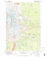
Editions of this 1970 Mount Adams East Map
2 editions found
Other maps of this area

1904 · Mount Adams
USGS Topo · 1:125,000

1907 · Mount Adams
USGS Topo · 1:125,000

1926 · Steamboat Mtn
USGS Topo · 1:125,000

1931 · Steamboat Mtn
USGS Topo · 1:125,000

1950 · Yakima
USGS Topo · 1:250,000

1958 · Yakima
USGS Topo · 1:250,000

1961 · Yakima
USGS Topo · 1:250,000
1970 · Glenwood
USGS Topo · 1:24,000
1970 · Trout Lake
USGS Topo · 1:24,000
1970 · Mount Adams West
USGS Topo · 1:24,000