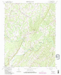
1966 Map of Mount Airy
USGS Topo · Published 1985About this map
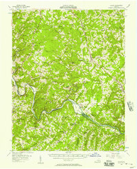
Banister River meanders through the heart of this landscape, its deep bends joined by the Stinking River and a network of smaller streams like Straightstone Creek and Maggotty Cr. This mid-century view of the Virginia countryside highlights a dispersed settlement pattern centered on local institutions. Crossroads such as Mt Airy and Renan are anchored by civic sites including St Johns Ch, St Andrews Ch, and Renan Sch. A modern industrial layer appears in the form of multiple pipelines cutting across the rural terrain near Riceville and Hermosa. The map also captures several family-named landmarks and numerous unnamed cemeteries scattered among the wooded hills and farm clearings, providing a detailed look at the region's agricultural character before later developments.
Find a feature on this map
30 named features on this map. Tap any name to fly to it.
Don’t see what you’re looking for? This feature index may not catch every label — zoom into the map to look around manually.
Map Details
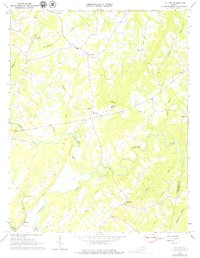
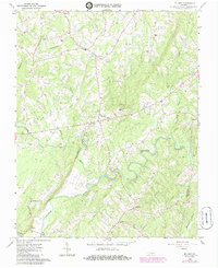
Editions of this 1966 Mount Airy Map
4 editions found
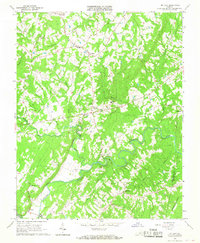
Other maps of this area

1892 · Lynchburg
USGS Topo · 1:125,000

1921 · Chatham
USGS Topo · 1:48,000

1923 · Chatham
USGS Topo · 1:62,500

1947 · Roanoke
USGS Topo · 1:250,000

1951 · Altavista
USGS Topo · 1:62,500

1953 · Greensboro
USGS Topo · 1:250,000

1954 · Greensboro
USGS Topo · 1:250,000

1954 · Riceville
USGS Topo · 1:62,500
1956 · Gladys
USGS Topo · 1:62,500

1959 · Roanoke
USGS Topo · 1:250,000