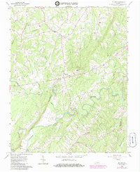
1966 Map of Mount Airy
USGS Topo · Published 1985About this map
Mt Airy and the surrounding rural hamlets of Pittsylvania Co and Halifax Co are defined by a winding river system where the Stinking River joins the Banister River. This 1960s landscape, later updated in the mid-1980s, reveals a network of small agricultural communities connected by family-named landmarks and rural institutions. The map records several early education and religious centers, including Renan Sch, Mt Airy Sch, St Johns Ch, and St Andrews Ch, many of which served as the social heart of their respective settlements like Renan and Riceville.
Find a feature on this map
30 named features on this map. Tap any name to fly to it.
Don’t see what you’re looking for? This feature index may not catch every label — zoom into the map to look around manually.
Map Details
Editions of this 1966 Mount Airy Map
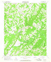
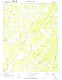
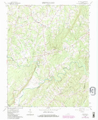
4 editions found
Other maps of this area

1892 · Lynchburg
USGS Topo · 1:125,000

1921 · Chatham
USGS Topo · 1:48,000

1923 · Chatham
USGS Topo · 1:62,500

1947 · Roanoke
USGS Topo · 1:250,000

1951 · Altavista
USGS Topo · 1:62,500

1953 · Greensboro
USGS Topo · 1:250,000

1954 · Greensboro
USGS Topo · 1:250,000

1954 · Riceville
USGS Topo · 1:62,500

1956 · Gladys
USGS Topo · 1:62,500

1959 · Roanoke
USGS Topo · 1:250,000