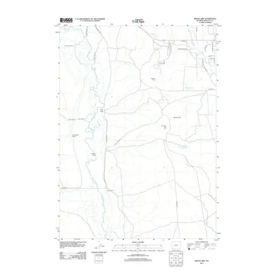
2012 Map of Mount Airy
USGS Topo · Published 2012About this map
Green River and New Fork River converge in this high-plains landscape, where ranching heritage remains a central feature of the terrain. The presence of established cattle operations like Sommers Ranch, Grubbing Hoe Ranch, and H Bar C Ranch underscores the area's agricultural continuity. These family-named landmarks are situated among drainage features such as Grindstone Draw and Tyler Draw, which feed the river systems.
Find a feature on this map
34 named features on this map. Tap any name to fly to it.
Don’t see what you’re looking for? This feature index may not catch every label — zoom into the map to look around manually.
Map Details
Editions of this 2012 Mount Airy Map
This is the sole edition of this map. No revisions or reprints were ever made.
Other maps of this area

1939 · Big Piney
USGS Topo · 1:125,000

1942 · Big Piney
USGS Topo · 1:125,000

1955 · Preston
USGS Topo · 1:250,000

1955 · Lander
USGS Topo · 1:250,000

1958 · Lander
USGS Topo · 1:250,000

1958 · Preston
USGS Topo · 1:250,000

1961 · Lander
USGS Topo · 1:250,000

1962 · Preston
USGS Topo · 1:250,000

1964 · Two Buttes Reservoir
USGS Topo · 1:24,000

1964 · Mount Airy
USGS Topo · 1:24,000