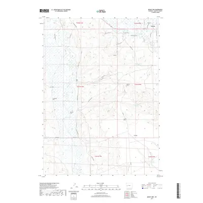
2017 Map of Mount Airy
USGS Topo · Published 2017About this map
Pinedale anchors the northeastern corner of this landscape where the high plains meet the intricate drainage systems of Sublette County. The terrain is defined by The Mesa, a prominent upland feature flanked by numerous erosional cuts including Tyler Draw and Grindstone Draw. Water management is central to this region, evidenced by the series of catchments such as Mesa Reservoir Number 2 and Desert Reservoir Number 2.
Find a feature on this map
39 named features on this map. Tap any name to fly to it.
Don’t see what you’re looking for? This feature index may not catch every label — zoom into the map to look around manually.
Map Details
Editions of this 2017 Mount Airy Map
This is the sole edition of this map. No revisions or reprints were ever made.
Other maps of this area

1939 · Big Piney
USGS Topo · 1:125,000

1942 · Big Piney
USGS Topo · 1:125,000

1955 · Preston
USGS Topo · 1:250,000

1955 · Lander
USGS Topo · 1:250,000

1958 · Lander
USGS Topo · 1:250,000

1958 · Preston
USGS Topo · 1:250,000

1961 · Lander
USGS Topo · 1:250,000

1962 · Preston
USGS Topo · 1:250,000

1964 · Two Buttes Reservoir
USGS Topo · 1:24,000

1964 · Mount Airy
USGS Topo · 1:24,000