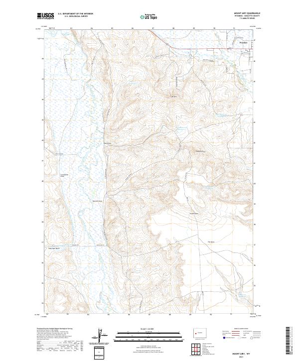
2021 Map of Mount Airy
USGS Topo · Published 2021About this map
Pinedale anchors the northeast corner of this high-altitude landscape where the Green River and New Fork River move through a complex network of agricultural and municipal water management. The terrain is defined by The Mesa, a prominent plateau rising above the river valleys, marked by features such as Stewart Point and the namesake Mt Airy. The area's ranching and irrigation history is visible in the intricate system of named waterways including the Green River Supply Canal, Soap Hole Ditch, and Luman Ditch. Small reservoirs like Mesa Reservoir Number 1 and Desert Reservoir Number 2 dot the dry highlands, supporting local operations far above the riverbanks. Roads like E Green River Rd and Harry Steele Rd follow the natural contours of the draws and basins, including Grindstone Draw and Soap Hole Basin, illustrating how the topography dictated early settlement and transit patterns in Sublette County.
Find a feature on this map
49 named features on this map. Tap any name to fly to it.
Don’t see what you’re looking for? This feature index may not catch every label — zoom into the map to look around manually.
Map Details
Editions of this 2021 Mount Airy Map
This is the sole edition of this map. No revisions or reprints were ever made.
Other maps of this area

1939 · Big Piney
USGS Topo · 1:125,000

1942 · Big Piney
USGS Topo · 1:125,000

1955 · Preston
USGS Topo · 1:250,000

1955 · Lander
USGS Topo · 1:250,000

1958 · Lander
USGS Topo · 1:250,000

1958 · Preston
USGS Topo · 1:250,000

1961 · Lander
USGS Topo · 1:250,000

1962 · Preston
USGS Topo · 1:250,000

1964 · Two Buttes Reservoir
USGS Topo · 1:24,000

1964 · Mount Airy
USGS Topo · 1:24,000