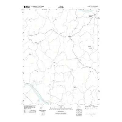
2011 Map of Mount Alto
USGS Topo · Published 2011About this map
The Ohio River and Kanawha River converge near the southern edge of this landscape, anchoring a region of ridge-and-valley terrain in Mason County. Small crossroads and landings like Rollins, Baden, and Maupin Landing sit along the winding watercourses, connected by a network of rural routes such as Leon Baden Rd and Thomas Ridge Rd. The map is particularly dense with sites for genealogical research, including numerous family and community burial grounds like Sayre Cemetery, Ward Cemetery, and Greenlee Cemetery scattered among the uplands of Gill Ridge and Thomas Ridge.
Find a feature on this map
69 named features on this map. Tap any name to fly to it.
Don’t see what you’re looking for? This feature index may not catch every label — zoom into the map to look around manually.
Map Details
Editions of this 2011 Mount Alto Map
This is the sole edition of this map. No revisions or reprints were ever made.
Other maps of this area

1906 · Glenwood
USGS Topo · 1:62,500

1906 · Winfield
USGS Topo · 1:62,500

1908 · Glenwood
USGS Topo · 1:62,500

1908 · Winfield
USGS Topo · 1:62,500

1908 · Ravenswood
USGS Topo · 1:62,500

1908 · Point Pleasant
USGS Topo · 1:62,500

1926 · Ravenswood
USGS Topo · 1:62,500

1926 · Point Pleasant
USGS Topo · 1:62,500

1928 · Ravenswood
USGS Topo · 1:62,500

1929 · Point Pleasant
USGS Topo · 1:62,500