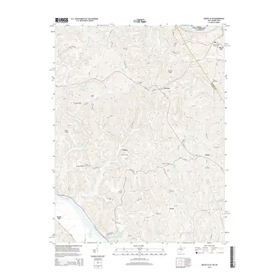
2014 Map of Mount Alto
USGS Topo · Published 2014About this map
The Ohio River and Kanawha River define the western edges of this West Virginia landscape, where small rural communities like Ash, Chestnut, and Baden are scattered across the intricate ridges and hollows. The area’s settlement history is preserved in its numerous family and community burial sites, including the Hopewell Baptist Church Cem and the Jackson Chapel Cem situated along the border of Mason and Jackson counties.
Find a feature on this map
77 named features on this map. Tap any name to fly to it.
Don’t see what you’re looking for? This feature index may not catch every label — zoom into the map to look around manually.
Map Details
Editions of this 2014 Mount Alto Map
This is the sole edition of this map. No revisions or reprints were ever made.
Other maps of this area

1906 · Glenwood
USGS Topo · 1:62,500

1906 · Winfield
USGS Topo · 1:62,500

1908 · Glenwood
USGS Topo · 1:62,500

1908 · Winfield
USGS Topo · 1:62,500

1908 · Ravenswood
USGS Topo · 1:62,500

1908 · Point Pleasant
USGS Topo · 1:62,500

1926 · Ravenswood
USGS Topo · 1:62,500

1926 · Point Pleasant
USGS Topo · 1:62,500

1928 · Ravenswood
USGS Topo · 1:62,500

1929 · Point Pleasant
USGS Topo · 1:62,500