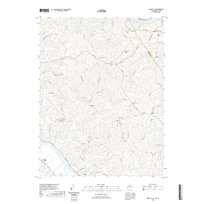
2019 Map of Mount Alto
USGS Topo · Published 2019About this map
Leon and Beech Hill anchor the southwestern corner of this survey, where the Kanawha River meets Thirteenmile Creek and Tenmile Cr. The landscape is defined by a dense network of ridges such as Chestnut Ridge and Plants Ridge that separate numerous springs and runs. Genealogists will find a high concentration of burial sites throughout the territory, including Hopewell Baptist Church Cem, Jackson Chapel Cem, and Greenlee Cem. The topography reveals how early settlement followed the water, with places like Mount Alto and Baden situated near the headwaters of Little Mill Cr and the Ohio River. The infrastructure of Mason Co is marked by a transition from river-bottom roads like Charleston Rd to interior routes such as Ripley Rd, reflecting the historical transport patterns between the river valleys and the upland ridges.
Find a feature on this map
111 named features on this map. Tap any name to fly to it.
Don’t see what you’re looking for? This feature index may not catch every label — zoom into the map to look around manually.
Map Details
Editions of this 2019 Mount Alto Map
This is the sole edition of this map. No revisions or reprints were ever made.
Other maps of this area

1906 · Glenwood
USGS Topo · 1:62,500

1906 · Winfield
USGS Topo · 1:62,500

1908 · Glenwood
USGS Topo · 1:62,500

1908 · Winfield
USGS Topo · 1:62,500

1908 · Ravenswood
USGS Topo · 1:62,500

1908 · Point Pleasant
USGS Topo · 1:62,500

1926 · Ravenswood
USGS Topo · 1:62,500

1926 · Point Pleasant
USGS Topo · 1:62,500

1928 · Ravenswood
USGS Topo · 1:62,500

1929 · Point Pleasant
USGS Topo · 1:62,500