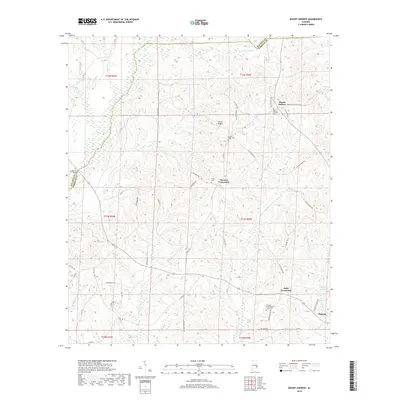
2018 Map of Mount Andrew
USGS Topo · Published 2018About this map
The rolling drainage basins of Barbour and Bullock counties meet along a rugged boundary defined by the headwaters of the Pea River and Little Cr. This 2018 survey documents a landscape of high ridges and dispersed rural settlements centered around Mount Andrew and the northern outskirts of Clayton. The area’s historical infrastructure is preserved in its network of named country roads and cemeteries, such as Center Ridge Cem and Shiloh Cem, which anchor long-standing family homesteads.
Find a feature on this map
60 named features on this map. Tap any name to fly to it.
Don’t see what you’re looking for? This feature index may not catch every label — zoom into the map to look around manually.
Map Details
Editions of this 2018 Mount Andrew Map
This is the sole edition of this map. No revisions or reprints were ever made.
Other maps of this area

1953 · Dothan
USGS Topo · 1:250,000

1954 · Dothan
USGS Topo · 1:250,000

1955 · Dothan
USGS Topo · 1:250,000

1955 · Phenix City
USGS Topo · 1:250,000

1957 · Phenix City
USGS Topo · 1:250,000

1958 · Phenix City
USGS Topo · 1:250,000

1967 · Clayton South
USGS Topo · 1:24,000

1968 · Clayton North
USGS Topo · 1:24,000

1968 · Perote
USGS Topo · 1:24,000

1968 · Louisville
USGS Topo · 1:24,000