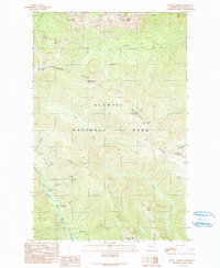
1990 Map of Mount Angeles
USGS Topo · Published 1990About this map
Olympic National Park defines this 1990 provisional survey, showcasing the high-elevation wilderness south of Port Angeles. The landscape is dominated by the massive relief of Mount Angeles and the prominent Hurricane Ridge, which includes the Hurricane Ridge Visitors Center. This edition captures the park's interior infrastructure during the late twentieth century, including backcountry sites like Marys Falls Camp and Canyon Camp situated along the Elwha River. A dense network of drainage systems, including Lillian River, Morse Creek, and McCartney Creek, carve through the complex terrain of Cox Valley and Klahhane Ridge. The map serves as a detailed record of high-country summits and peaks, from Eagle Point and Steeple Rock to the high elevations of Elk Mountain and Obstruction Peak.
Find a feature on this map
28 named features on this map. Tap any name to fly to it.
Don’t see what you’re looking for? This feature index may not catch every label — zoom into the map to look around manually.
Map Details
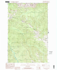
Editions of this 1990 Mount Angeles Map
2 editions found
Other maps of this area

1918 · Port Angeles
USGS Topo · 1:62,500

1919 · Port Crescent
USGS Topo · 1:62,500

1935 · Mount Olympus
USGS Topo · 1:62,500

1938 · Mt Constance
USGS Topo · 1:125,000

1941 · Port Angeles
USGS Topo · 1:62,500

1942 · Mount Olympus
USGS Topo · 1:62,500

1944 · Mt. Angeles
USGS Topo · 1:62,500

1946 · Mt. Angeles
USGS Topo · 1:62,500

1950 · Elwha
USGS Topo · 1:24,000

1950 · Hurricane Hill
USGS Topo · 1:24,000