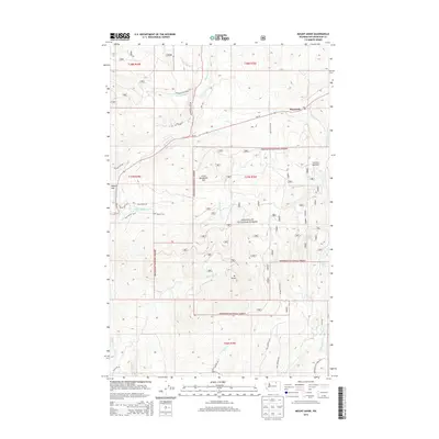
2014 Map of Mount Annie
USGS Topo · Published 2014About this map
Wauconda sits at the intersection of mountain terrain and state infrastructure in this section of the Okanogan National Forest. The landscape is dominated by significant elevations such as Mt Annie and Little Bonaparte Mtn, which overlook a network of high-elevation drainages including Bonaparte Cr and Little Bonaparte Cr. The presence of the Po in Wauconda indicates its role as a local center for the surrounding timber and ranching lands. Natural catchments like Sanpoil Lake and Turner Lake are tucked into the high country, while areas like Bigham Flat and Suttens Meadow suggest localized leveling amidst the otherwise steep slopes. The map also reveals a complex system of forest and mountain roads, such as High Valley Rd W and Cross Winds Rd, which provide access to the various creeks and ridges that define this Okanogan County geography.
Find a feature on this map
38 named features on this map. Tap any name to fly to it.
Don’t see what you’re looking for? This feature index may not catch every label — zoom into the map to look around manually.
Map Details
Editions of this 2014 Mount Annie Map
This is the sole edition of this map. No revisions or reprints were ever made.
Other maps of this area

1902 · Osoyoos
USGS Topo · 1:125,000

1904 · Osoyoos
USGS Topo · 1:125,000

1904 · Republic
USGS Topo · 1:125,000

1951 · Wauconda
USGS Topo · 1:62,500

1951 · Bodie Mountain
USGS Topo · 1:62,500

1954 · Okanogan
USGS Topo · 1:250,000

1957 · Mt. Bonaparte
USGS Topo · 1:62,500

1957 · Aeneas Valley
USGS Topo · 1:62,500

1958 · Okanogan
USGS Topo · 1:250,000

1958 · Aeneas
USGS Topo · 1:62,500