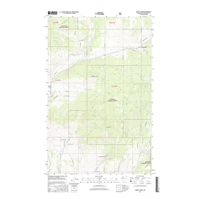
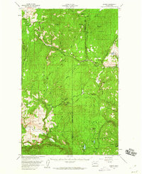
2017 Map of Mount Annie
USGS Topo · Published 2017About this map
Wauconda sits at the northern edge of this high-country landscape, where the terrain is defined by the significant elevations of Mount Annie and Little Bonaparte Mtn. This portion of the Okanogan National Forest is characterized by a complex network of drainage systems, including Bonaparte Cr and its tributary Little Bonaparte Cr, alongside the headwaters of Sourdough Cr and Sanpoil Lake.
Find a feature on this map
59 named features on this map. Tap any name to fly to it.
Don’t see what you’re looking for? This feature index may not catch every label — zoom into the map to look around manually.
Map Details
Editions of this 2017 Mount Annie Map
This is the sole edition of this map. No revisions or reprints were ever made.
Other maps of this area
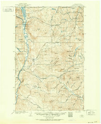
1902 · Osoyoos
USGS Topo · 1:125,000
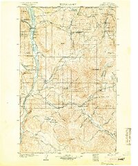
1904 · Osoyoos
USGS Topo · 1:125,000
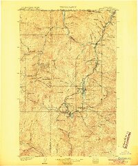
1904 · Republic
USGS Topo · 1:125,000
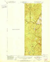
1951 · Wauconda
USGS Topo · 1:62,500
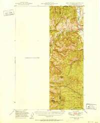
1951 · Bodie Mountain
USGS Topo · 1:62,500

1954 · Okanogan
USGS Topo · 1:250,000
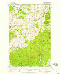
1957 · Mt. Bonaparte
USGS Topo · 1:62,500
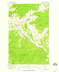
1957 · Aeneas Valley
USGS Topo · 1:62,500

1958 · Okanogan
USGS Topo · 1:250,000
1958 · Aeneas
USGS Topo · 1:62,500