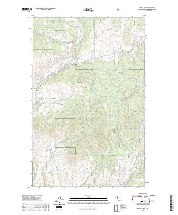
2023 Map of Mount Annie
USGS Topo · Published 2023About this map
Wauconda sits at the northern edge of this high-elevation landscape within the Okanogan National Forest, where the terrain is defined by the peaks of Mt Annie and Little Bonaparte Mtn. A network of creeks, including Bonaparte Creek, Lightning Creek, and Sourdough Creek, drain the slopes of these prominent mountains, carving a complex system of valleys and flats like Bigham Flat. This modern survey illustrates the distribution of rural homesteads and mountain access roads such as Grafton Ranch Rd and Diamond Bell Rd that weave through the forest's rugged interior.
Find a feature on this map
54 named features on this map. Tap any name to fly to it.
Don’t see what you’re looking for? This feature index may not catch every label — zoom into the map to look around manually.
Map Details
Editions of this 2023 Mount Annie Map
This is the sole edition of this map. No revisions or reprints were ever made.
Other maps of this area

1902 · Osoyoos
USGS Topo · 1:125,000

1904 · Osoyoos
USGS Topo · 1:125,000

1904 · Republic
USGS Topo · 1:125,000

1951 · Wauconda
USGS Topo · 1:62,500

1951 · Bodie Mountain
USGS Topo · 1:62,500

1954 · Okanogan
USGS Topo · 1:250,000

1957 · Mt. Bonaparte
USGS Topo · 1:62,500

1957 · Aeneas Valley
USGS Topo · 1:62,500

1958 · Okanogan
USGS Topo · 1:250,000

1958 · Aeneas
USGS Topo · 1:62,500