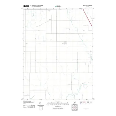
2010 Map of Mount Ayr
USGS Topo · Published 2010About this map
Mount Ayr sits at the heart of this agricultural landscape in Newton County, defined by a meticulously organized system of drainage and small rural cemeteries. The surrounding terrain is dissected by an extensive network of waterways designed to manage the fertile plains, including the Narrows Ditch, Spitler Ditch, and Battleday Ditch. These man-made channels eventually feed into natural courses like Curtis Creek and the Iroquois River, which meanders across the southern portion of the quadrangle. For genealogists, the map is a vital record of local burial sites, clearly identifying the North Star Cemetery, Burr Oak Cemetery, and Kennedy Cemetery. The geometric grid of county roads, such as E North Star Rd and Bunkum Rd, illustrates the late 20th-century persistence of traditional Midwestern land division, connecting isolated homesteads and farmland to the centralized hub of Mount Ayr.
Find a feature on this map
51 named features on this map. Tap any name to fly to it.
Don’t see what you’re looking for? This feature index may not catch every label — zoom into the map to look around manually.
Map Details
Editions of this 2010 Mount Ayr Map
This is the sole edition of this map. No revisions or reprints were ever made.
Other maps of this area

1953 · Chicago
USGS Topo · 1:250,000

1953 · Danville
USGS Topo · 1:250,000

1955 · Danville
USGS Topo · 1:250,000

1956 · Danville
USGS Topo · 1:250,000

1957 · Chicago
USGS Topo · 1:250,000

1961 · Kentland
USGS Topo · 1:24,000

1961 · Mount Ayr
USGS Topo · 1:24,000

1961 · Morocco
USGS Topo · 1:24,000

1962 · Parr
USGS Topo · 1:24,000

1962 · Goodland
USGS Topo · 1:24,000