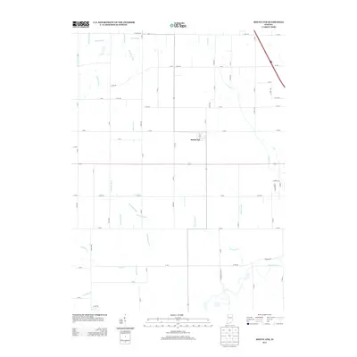
2013 Map of Mount Ayr
USGS Topo · Published 2013About this map
Mount Ayr sits at the heart of this Newton County agricultural landscape, defined by a sophisticated network of drainage ditches that have historically reclaimed this region of northwestern Indiana for farming. The map traces the winding course of the Iroquois River across the southern tier, where it is fed by natural tributaries like Hickory Br and engineered waterways such as Turner Ditch. The prevalence of named channels including Battleday Ditch, Camblin Ditch, and Haines Ditch illustrates the extensive 19th and 20th-century efforts to manage the local water table. This intricate grid of section roads and lateral drains, such as the Beasy Lateral and Spitler Ditch, showcases the rigid spatial organization of the rural Midwest in the early 21st century. The map provides a precise look at the township's layout, from the concentrated streets of the village to the expansive parcels bounded by E Division Rd and N Lake Rd.
Find a feature on this map
70 named features on this map. Tap any name to fly to it.
Don’t see what you’re looking for? This feature index may not catch every label — zoom into the map to look around manually.
Map Details
Editions of this 2013 Mount Ayr Map
This is the sole edition of this map. No revisions or reprints were ever made.
Other maps of this area

1953 · Chicago
USGS Topo · 1:250,000

1953 · Danville
USGS Topo · 1:250,000

1955 · Danville
USGS Topo · 1:250,000

1956 · Danville
USGS Topo · 1:250,000

1957 · Chicago
USGS Topo · 1:250,000

1961 · Kentland
USGS Topo · 1:24,000

1961 · Mount Ayr
USGS Topo · 1:24,000

1961 · Morocco
USGS Topo · 1:24,000

1962 · Parr
USGS Topo · 1:24,000

1962 · Goodland
USGS Topo · 1:24,000