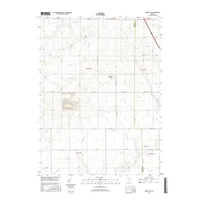
2016 Map of Mount Ayr
USGS Topo · Published 2016About this map
Mount Ayr is the central hub of this agricultural landscape in northwestern Indiana, situated at the boundary between Newton and Jasper counties. The terrain is defined by a sophisticated network of man-made waterways like Deardurff Ditch, Spitler Ditch, and Cline Ditch, which were engineered to manage the low-lying prairie land for cultivation. These drainage systems feed into natural watercourses such as Curtis Creek and the meandering Iroquois River in the southern portion of the quadrangle.
Find a feature on this map
48 named features on this map. Tap any name to fly to it.
Don’t see what you’re looking for? This feature index may not catch every label — zoom into the map to look around manually.
Map Details
Editions of this 2016 Mount Ayr Map
This is the sole edition of this map. No revisions or reprints were ever made.
Other maps of this area

1953 · Chicago
USGS Topo · 1:250,000

1953 · Danville
USGS Topo · 1:250,000

1955 · Danville
USGS Topo · 1:250,000

1956 · Danville
USGS Topo · 1:250,000

1957 · Chicago
USGS Topo · 1:250,000

1961 · Kentland
USGS Topo · 1:24,000

1961 · Mount Ayr
USGS Topo · 1:24,000

1961 · Morocco
USGS Topo · 1:24,000

1962 · Parr
USGS Topo · 1:24,000

1962 · Goodland
USGS Topo · 1:24,000