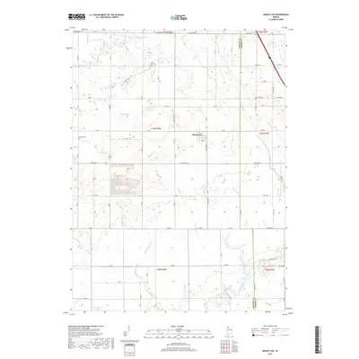
2019 Map of Mount Ayr
USGS Topo · Published 2019About this map
Mount Ayr anchors this portion of Newton County, appearing as a compact settlement surrounded by a grid of agricultural land and an intricate drainage system. The landscape is defined by the engineered management of water, with named channels such as Spitler Ditch, Deardurff Ditch, and Battleday Ditch crisscrossing the terrain to feed into the Iroquois River and its tributaries like Hickory Br. These man-made and natural watercourses reflect the region's long-standing reliance on land reclamation for farming.
Find a feature on this map
68 named features on this map. Tap any name to fly to it.
Don’t see what you’re looking for? This feature index may not catch every label — zoom into the map to look around manually.
Map Details
Editions of this 2019 Mount Ayr Map
This is the sole edition of this map. No revisions or reprints were ever made.
Other maps of this area

1953 · Chicago
USGS Topo · 1:250,000

1953 · Danville
USGS Topo · 1:250,000

1955 · Danville
USGS Topo · 1:250,000

1956 · Danville
USGS Topo · 1:250,000

1957 · Chicago
USGS Topo · 1:250,000

1961 · Kentland
USGS Topo · 1:24,000

1961 · Mount Ayr
USGS Topo · 1:24,000

1961 · Morocco
USGS Topo · 1:24,000

1962 · Parr
USGS Topo · 1:24,000

1962 · Goodland
USGS Topo · 1:24,000