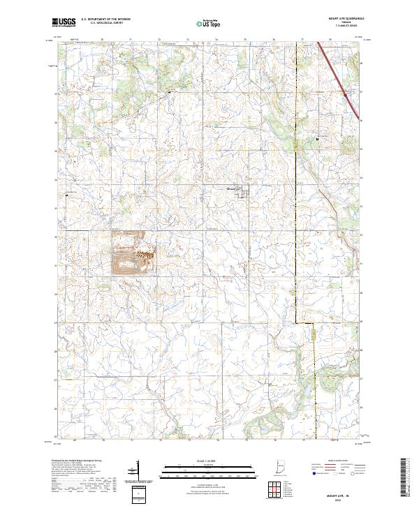
2022 Map of Mount Ayr
USGS Topo · Published 2022About this map
Mount Ayr anchors this portion of the Indiana prairie, a landscape defined by a complex network of drainage infrastructure essential to its agricultural history. The township is intersected by numerous named watercourses, including the Spitler Ditch, Camblin Ditch, and Haines Ditch, which channel water toward the Iroquois River in the south. These engineered waterways trace the conversion of the region's natural wetlands into productive farmland over the generations. For genealogists and local historians, several quiet landmarks remain, such as Burr Oak Cem, Kennedy Cem, and North Star Cem. The boundary between Newton Co and Jasper Co runs north-to-south through the eastern half of the map, while Curtis Creek winds through the borderlands near the crossing of Co Rd 500.
Find a feature on this map
47 named features on this map. Tap any name to fly to it.
Don’t see what you’re looking for? This feature index may not catch every label — zoom into the map to look around manually.
Map Details
Editions of this 2022 Mount Ayr Map
This is the sole edition of this map. No revisions or reprints were ever made.
Other maps of this area

1953 · Chicago
USGS Topo · 1:250,000

1953 · Danville
USGS Topo · 1:250,000

1955 · Danville
USGS Topo · 1:250,000

1956 · Danville
USGS Topo · 1:250,000

1957 · Chicago
USGS Topo · 1:250,000

1961 · Kentland
USGS Topo · 1:24,000

1961 · Mount Ayr
USGS Topo · 1:24,000

1961 · Morocco
USGS Topo · 1:24,000

1962 · Parr
USGS Topo · 1:24,000

1962 · Goodland
USGS Topo · 1:24,000