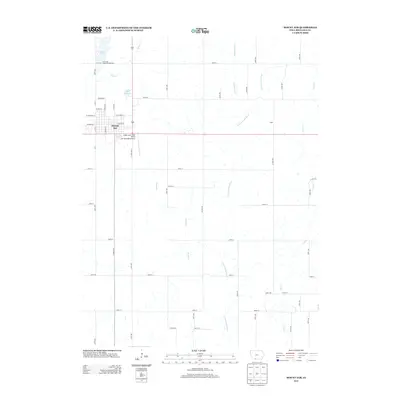
2013 Map of Mount Ayr
USGS Topo · Published 2013About this map
Mount Ayr serves as the central hub for this Ringgold County landscape, where the grid of city streets like W Madison St and E Columbus St gives way to a sprawling network of rural section roads. The area's water resources are a defining characteristic, anchored by Loch Ayr and the Old Reservoir to the north, while the Mount Ayr State Fish Hatchery highlights local conservation efforts. To the east, the rural settlement of Lesan sits near the winding course of the E Fork Grand River.
Find a feature on this map
45 named features on this map. Tap any name to fly to it.
Don’t see what you’re looking for? This feature index may not catch every label — zoom into the map to look around manually.
Map Details
Editions of this 2013 Mount Ayr Map
This is the sole edition of this map. No revisions or reprints were ever made.
Other maps of this area

1940 · Blockton
USGS Topo · 1:62,500

1943 · Blockton
USGS Topo · 1:62,500

1945 · Mount Ayr
USGS Topo · 1:62,500

1947 · Mount Ayr
USGS Topo · 1:62,500

1955 · Nebraska City
USGS Topo · 1:250,000

1957 · Nebraska City
USGS Topo · 1:250,000

1958 · Nebraska City
USGS Topo · 1:250,000
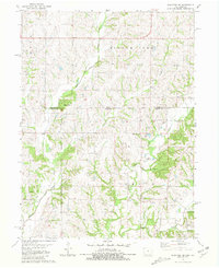
1981 · Blockton SE
USGS Topo · 1:24,000
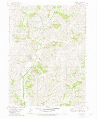
1981 · Diagonal
USGS Topo · 1:24,000
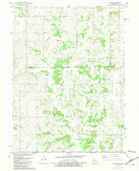
1981 · Pawnee
USGS Topo · 1:24,000