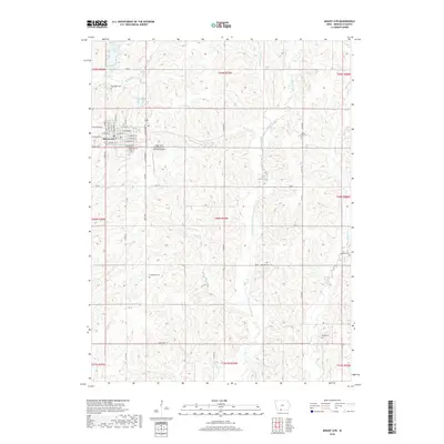
2018 Map of Mount Ayr
USGS Topo · Published 2018About this map
Mount Ayr serves as the central hub of this Ringgold County landscape, with its organized grid of streets including W Adams St and E Madison St radiating from the town center. The surrounding rural areas are defined by a complex network of waterways, most notably the E Fork Grand River, which winds south alongside tributaries like Gooseberry Cr and Bealls Cr. The presence of numerous family and community burial grounds, such as Sweet Home Cem, Thompson Cem, and Shaha Cem, provides significant points of interest for those tracing local lineages across the southern Iowa countryside.
Find a feature on this map
41 named features on this map. Tap any name to fly to it.
Don’t see what you’re looking for? This feature index may not catch every label — zoom into the map to look around manually.
Map Details
Editions of this 2018 Mount Ayr Map
This is the sole edition of this map. No revisions or reprints were ever made.
Other maps of this area

1940 · Blockton
USGS Topo · 1:62,500

1943 · Blockton
USGS Topo · 1:62,500

1945 · Mount Ayr
USGS Topo · 1:62,500

1947 · Mount Ayr
USGS Topo · 1:62,500

1955 · Nebraska City
USGS Topo · 1:250,000

1957 · Nebraska City
USGS Topo · 1:250,000

1958 · Nebraska City
USGS Topo · 1:250,000
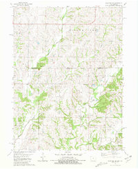
1981 · Blockton SE
USGS Topo · 1:24,000
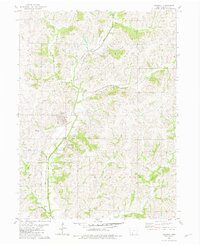
1981 · Diagonal
USGS Topo · 1:24,000
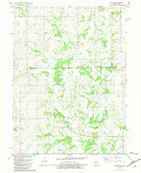
1981 · Pawnee
USGS Topo · 1:24,000