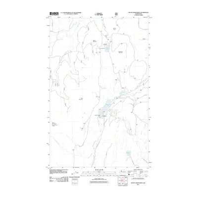
2011 Map of Mount Bonaparte
USGS Topo · Published 2011About this map
Mount Bonaparte anchors the western edge of this high-elevation landscape within the Okanogan National Forest, where a network of forest service roads and recreational camps define the human presence. The Mount Bonaparte Lookout serves as a prominent landmark overlooking a rugged terrain drained by Myers Creek and Bonaparte Creek. To the east, Bonaparte Lake is a central feature, supported by the Bonaparte Lake Dam and the nearby Bonaparte Campground. The area's legacy of organized outdoor camps is visible through Camp Tokiwanee and Camp Ortoha, which are situated near Lost Lake. Specialized land use is noted at the Big Tree Botanical Area, highlighting the botanical diversity of this mountain range near the Canadian border.
Find a feature on this map
31 named features on this map. Tap any name to fly to it.
Don’t see what you’re looking for? This feature index may not catch every label — zoom into the map to look around manually.
Map Details
Editions of this 2011 Mount Bonaparte Map
This is the sole edition of this map. No revisions or reprints were ever made.
Other maps of this area

1902 · Osoyoos
USGS Topo · 1:125,000

1904 · Osoyoos
USGS Topo · 1:125,000

1904 · Republic
USGS Topo · 1:125,000

1951 · Wauconda
USGS Topo · 1:62,500

1951 · Bodie Mountain
USGS Topo · 1:62,500

1954 · Okanogan
USGS Topo · 1:250,000

1957 · Mt. Bonaparte
USGS Topo · 1:62,500

1957 · Aeneas Valley
USGS Topo · 1:62,500

1958 · Okanogan
USGS Topo · 1:250,000

1958 · Aeneas
USGS Topo · 1:62,500