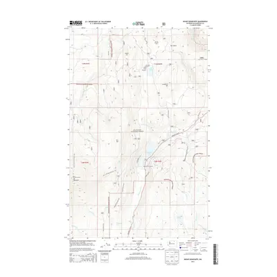
2014 Map of Mount Bonaparte
USGS Topo · Published 2014About this map
Mount Bonaparte Lookout towers over this section of the Okanogan National Forest, a high-elevation landscape defined by significant peaks and sheltered basins. The northern portion of the map is punctuated by Buster Mtn and Strawberry Mtn, while the southern reaches are dominated by the heights surrounding the lookout itself. Water defines the recreational and ecological character of the area, centered on the sizeable Bonaparte Lake and the smaller Lost Lake to the north.
Find a feature on this map
31 named features on this map. Tap any name to fly to it.
Don’t see what you’re looking for? This feature index may not catch every label — zoom into the map to look around manually.
Map Details
Editions of this 2014 Mount Bonaparte Map
This is the sole edition of this map. No revisions or reprints were ever made.
Other maps of this area

1902 · Osoyoos
USGS Topo · 1:125,000

1904 · Osoyoos
USGS Topo · 1:125,000

1904 · Republic
USGS Topo · 1:125,000

1951 · Wauconda
USGS Topo · 1:62,500

1951 · Bodie Mountain
USGS Topo · 1:62,500

1954 · Okanogan
USGS Topo · 1:250,000

1957 · Mt. Bonaparte
USGS Topo · 1:62,500

1957 · Aeneas Valley
USGS Topo · 1:62,500

1958 · Okanogan
USGS Topo · 1:250,000

1958 · Aeneas
USGS Topo · 1:62,500