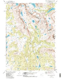
1981 Map of Mount Bonneville
USGS Topo · Published 1987About this map
Continental Divide crests through this high-altitude landscape in the Wind River Range, marking the boundary between the Shoshone National Forest and Bridger National Forest. The map, based on 1970s aerial photography, centers on the massive spire of Mount Bonneville and its surrounding glacial features, including the Hooker Glacier tucked beneath Mount Hooker. The drainage patterns here are distinct, with the East Fork River flowing through the central valley while the eastern slopes drain into high alpine basins like Grave Lake and Baptiste Lake. The northern edge is defined by the Wind River Indian Reservation Boundary, while much of the terrain is protected within the Bridger Wilderness. A network of backcountry routes, including the Highline Trail and numerous unnamed pack trails, provides the only access through passes such as Washakie Pass and Hatley Pass.
Find a feature on this map
50 named features on this map. Tap any name to fly to it.
Don’t see what you’re looking for? This feature index may not catch every label — zoom into the map to look around manually.
Map Details
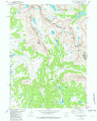
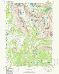
Editions of this 1981 Mount Bonneville Map
3 editions found
Other maps of this area

1937 · Moccasin Lake
USGS Topo · 1:48,000

1938 · Mt Bonneville
USGS Topo · 1:62,500

1941 · Mt Bonneville
USGS Topo · 1:62,500

1942 · Mt Bonneville
USGS Topo · 1:62,500

1943 · Moccasin Lake
USGS Topo · 1:62,500

1955 · Lander
USGS Topo · 1:250,000

1958 · Lander
USGS Topo · 1:250,000

1961 · Lander
USGS Topo · 1:250,000

1969 · Pocket Creek Lake
USGS Topo · 1:24,000
1969 · Big Sandy Opening
USGS Topo · 1:24,000