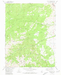
1980 Map of Mount Brigham
USGS Topo · Published 1981About this map
The high-elevation mining district of the Tushar Mountains is recorded here during the late twentieth century, showing a landscape defined by extractive industry and steep terrain. Fishlake National Forest dominates the topography, where numerous mining operations such as the Silver King Mine, Rainbow Mine, and Deer Trail Mine are situated among the peaks. The map reveals the intricate network of Pack Trails and Jeep Trails required to access remote claims like those near Alunite Ridge and Horse Heaven.
Find a feature on this map
53 named features on this map. Tap any name to fly to it.
Don’t see what you’re looking for? This feature index may not catch every label — zoom into the map to look around manually.
Map Details
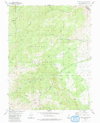
Editions of this 1980 Mount Brigham Map
2 editions found
Other maps of this area

1885 · Beaver
USGS Topo · 1:250,000

1932 · Sevier
USGS Topo · 1:62,500

1935 · Sevier
USGS Topo · 1:62,500

1937 · Delano Peak
USGS Topo · 1:48,000

1940 · Monroe
USGS Topo · 1:62,500

1943 · Delano Peak
USGS Topo · 1:62,500

1944 · Monroe
USGS Topo · 1:62,500

1945 · Marysvale
USGS Topo · 1:62,500

1947 · Marysvale
USGS Topo · 1:62,500

1953 · Richfield
USGS Topo · 1:250,000