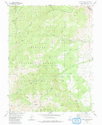
1980 Map of Mount Brigham
USGS Topo · Published 1991About this map
Fishlake National Forest defines the rugged verticality of this 1980 survey, where high-altitude mining and water drainage patterns tell the story of Piute County's extraction history. The terrain is marked by significant peaks such as Mount Brigham and Edna Peak, while deep drainages like Bullion Canyon serve as the primary conduits for local waterways. The map documents a high concentration of mining activity on the slopes of Beecher Ridge and Alunite Ridge, including the California Mine, Rainbow Mine, and Silver King Mine.
Find a feature on this map
53 named features on this map. Tap any name to fly to it.
Don’t see what you’re looking for? This feature index may not catch every label — zoom into the map to look around manually.
Map Details
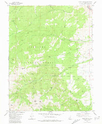
Editions of this 1980 Mount Brigham Map
2 editions found
Other maps of this area

1885 · Beaver
USGS Topo · 1:250,000

1932 · Sevier
USGS Topo · 1:62,500

1935 · Sevier
USGS Topo · 1:62,500

1937 · Delano Peak
USGS Topo · 1:48,000

1940 · Monroe
USGS Topo · 1:62,500

1943 · Delano Peak
USGS Topo · 1:62,500

1944 · Monroe
USGS Topo · 1:62,500

1945 · Marysvale
USGS Topo · 1:62,500

1947 · Marysvale
USGS Topo · 1:62,500

1953 · Richfield
USGS Topo · 1:250,000