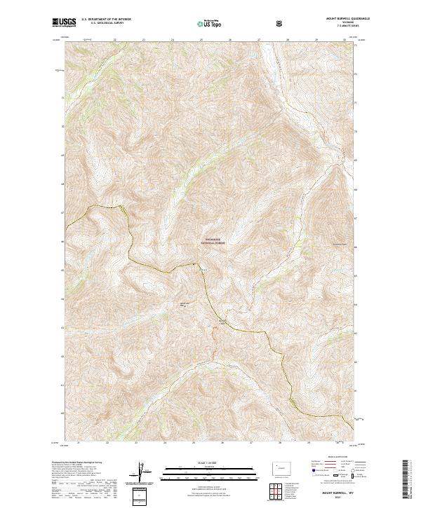
2021 Map of Mount Burwell
USGS Topo · Published 2021About this map
The Shoshone National Forest preserves a high-altitude wilderness along the border of Park and Fremont counties, defined by the sharp peaks of the Absaroka Range. This 2021 survey illustrates a remote landscape where the Continental Divide separates major drainage basins, including the headwaters of the Greybull River and the Wiggins Fork. The map provides crucial data for those studying high-country travel routes, marking established pathways like the Absaroka Trl and the Venus Basin Trl.
Find a feature on this map
30 named features on this map. Tap any name to fly to it.
Don’t see what you’re looking for? This feature index may not catch every label — zoom into the map to look around manually.
Map Details
Editions of this 2021 Mount Burwell Map
This is the sole edition of this map. No revisions or reprints were ever made.
Other maps of this area

1893 · Ishawooa
USGS Topo · 1:125,000

1895 · Ishawooa
USGS Topo · 1:125,000

1899 · Ishawooa
USGS Topo · 1:125,000

1904 · Kirwin
USGS Topo · 1:125,000

1905 · Younts Peak
USGS Topo · 1:125,000

1906 · Kirwin
USGS Topo · 1:125,000

1907 · Younts Peak
USGS Topo · 1:125,000

1955 · Cody
USGS Topo · 1:250,000

1955 · Thermopolis
USGS Topo · 1:250,000

1956 · Snow Lake
USGS Topo · 1:24,000