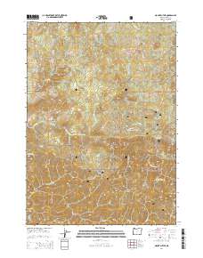
2014 Map of Mount Butler
USGS Topo · Published 2014About this map
Siskiyou National Forest land dominates this 2014 survey of southwestern Oregon, where the drainage of the Upper Sixes River carves through high ridges and deep canyons. The settlement at Plum Trees sits near the confluence of Sixes River and Edson Cr, marking a small point of habitation in a landscape of dramatic verticality. Peaks such as China Peak, Moon Mtn, and the titular Mount Butler define the horizon, while specialized terrain features like Elk Wallows and the narrow passage at Hells Gate reveal the specific character of this backcountry. The map also traces the winding courses of South Fork Sixes River and Elephant Rock Cr, illustrating how water shaped the topography long before the arrival of the Sixes River Rd and the Nat For Dev Rd.
Find a feature on this map
35 named features on this map. Tap any name to fly to it.
Don’t see what you’re looking for? This feature index may not catch every label — zoom into the map to look around manually.
Map Details
Editions of this 2014 Mount Butler Map
This is the sole edition of this map. No revisions or reprints were ever made.
Other maps of this area

1899 · Port Orford
USGS Topo · 1:125,000

1903 · Port Orford
USGS Topo · 1:125,000

1954 · Coos Bay
USGS Topo · 1:250,000

1954 · Port Orford
USGS Topo · 1:62,500

1954 · Agness
USGS Topo · 1:62,500

1954 · Powers
USGS Topo · 1:62,500

1954 · Langlois
USGS Topo · 1:62,500

1958 · Coos Bay
USGS Topo · 1:250,000

1962 · Coos Bay
USGS Topo · 1:250,000
1985 · Calf Ranch Mtn
USGS Topo · 1:24,000