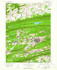
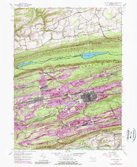
1955 Map of Mount Carmel
USGS Topo · Published 1961About this map
The Anthracite region's industrial footprint is deeply etched across the landscape of Mount Carmel and its surrounding boroughs in the mid-1950s. Dense settlement patterns in Kulpmont, Atlas, and Marion Heights contrast with the long, wooded ridges of Little Mountain and Locust Mountain. This era captures the intricate rail network essential to the coal economy, with the Reading, Pennsylvania, and Lehigh Valley railroads threading through the valleys to serve various operations, including an inactive mine near Locustdale.
Find a feature on this map
59 named features on this map. Tap any name to fly to it.
Don’t see what you’re looking for? This feature index may not catch every label — zoom into the map to look around manually.
Map Details
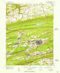
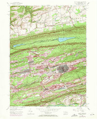
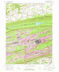
Editions of this 1955 Mount Carmel Map
5 editions found
Other maps of this area

1889 · Catawissa
USGS Topo · 1:62,500

1892 · Catawissa
USGS Topo · 1:62,500

1892 · Lykens
USGS Topo · 1:62,500

1892 · Shamokin
USGS Topo · 1:62,500

1892 · Pine Grove
USGS Topo · 1:62,500

1893 · Lykens
USGS Topo · 1:62,500

1893 · Shamokin
USGS Topo · 1:62,500

1894 · Catawissa
USGS Topo · 1:62,500

1943 · Lykens
USGS Topo · 1:62,500

1943 · Shamokin
USGS Topo · 1:62,500
Featured Places
- Mount Carmel, PA
- Kulpmont, PA
- Marion Heights, PA
- Upper Sagon, Coal Township
- Dooleyville, Mount Carmel Township