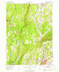
1954 Map of Mount Carmel
USGS Topo · Published 1958About this map
Mount Carmel and its distinctive silhouette dominate the eastern landscape of this mid-century survey, where the Quinnipiac River valleys meet the rising ridges of the Naugatuck State Forest. The map captures a moment of suburban expansion along Whitney Ave and Dixwell Ave, yet preserves the essential rural character of outlying settlements like Bethany and Richards Corner. Local infrastructure is well-defined, showing the New York New Haven and Hartford railroad line winding through the river corridor, supporting industrial points like the Mount Carmel Station.
Find a feature on this map
69 named features on this map. Tap any name to fly to it.
Don’t see what you’re looking for? This feature index may not catch every label — zoom into the map to look around manually.
Map Details
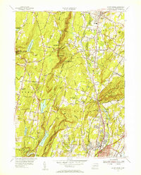
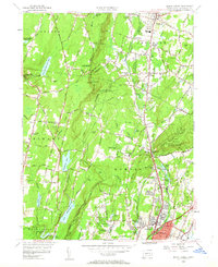
Editions of this 1954 Mount Carmel Map
3 editions found
Other maps of this area

1889 · Derby
USGS Topo · 1:62,500

1891 · Derby
USGS Topo · 1:62,500

1892 · New Haven
USGS Topo · 1:62,500

1892 · Meriden
USGS Topo · 1:62,500

1893 · Waterbury
USGS Topo · 1:62,500

1893 · Meriden
USGS Topo · 1:62,500

1893 · Derby
USGS Topo · 1:62,500

1904 · Waterbury
USGS Topo · 1:62,500

1904 · Litchfield
USGS Topo · 1:125,000

1906 · Farmington
USGS Topo · 1:125,000