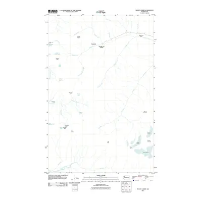
2011 Map of Mount Carrie
USGS Topo · Published 2011About this map
Olympic Hot Springs and the high glaciated peaks of the Olympic Range define this mountainous landscape in the early 21st century. The map tracks the headwaters of major river systems, including the Hoh River, the Sol Duc River, and the North Fork Sol Duc River, showing the drainages that flow from the permanent ice of Carrie Glacier and Fairchild Glacier. The survey documents the high-elevation trail network and primitive infrastructure of the region, marking remote waypoints such as the Boulder Lake Shelter, Sevenmile Shelter, and Heart Lake Shelter. From the prominent High Divide to the summit of Mount Carrie, the terrain is characterized by steep ridges like Crystal Ridge and deep alpine lakes including Boulder Lake, Oyster Lake, and Heart Lake. The placement of Boulder Creek Campground near the hot springs illustrates the area's long-standing use as a destination for backcountry travel and recreation.
Find a feature on this map
39 named features on this map. Tap any name to fly to it.
Don’t see what you’re looking for? This feature index may not catch every label — zoom into the map to look around manually.
Map Details
Editions of this 2011 Mount Carrie Map
This is the sole edition of this map. No revisions or reprints were ever made.
Other maps of this area

1918 · Lake Crescent
USGS Topo · 1:62,500

1919 · Port Crescent
USGS Topo · 1:62,500

1922 · Lake Crescent
USGS Topo · 1:62,500

1935 · Mount Olympus
USGS Topo · 1:62,500

1939 · Mount Tom
USGS Topo · 1:62,500

1942 · Mount Olympus
USGS Topo · 1:62,500

1950 · Elwha
USGS Topo · 1:24,000

1950 · Hurricane Hill
USGS Topo · 1:24,000

1950 · Lake Sutherland
USGS Topo · 1:24,000

1950 · Lake Crescent
USGS Topo · 1:24,000