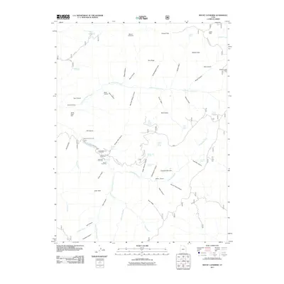
2011 Map of Mount Catherine
USGS Topo · Published 2011About this map
Mount Catherine and Pioneer Peak anchor this high-elevation landscape in Sevier County, defined by the intricate drainages of the North Fork Chalk Creek and South Fork Chalk Creek. The map documents a developed recreational corridor along Chalk Creek Canyon Rd, where several public gathering spots such as the Shingle Mill Picnic Area, Buckskin Charley Picnic Area, and Pistol Rock Picnic Area are clustered. These sites, along with Balsam Picnic Area and Copleys Cove Picnic Area, suggest the area's importance as a seasonal gateway for local communities and visitors.
Find a feature on this map
67 named features on this map. Tap any name to fly to it.
Don’t see what you’re looking for? This feature index may not catch every label — zoom into the map to look around manually.
Map Details
Editions of this 2011 Mount Catherine Map
This is the sole edition of this map. No revisions or reprints were ever made.
Other maps of this area

1885 · Beaver
USGS Topo · 1:250,000

1885 · Sevier Desert
USGS Topo · 1:250,000

1953 · Richfield
USGS Topo · 1:250,000

1953 · Delta
USGS Topo · 1:250,000

1958 · Richfield
USGS Topo · 1:250,000

1958 · Delta
USGS Topo · 1:250,000

1961 · Fillmore
USGS Topo · 1:24,000

1961 · Mt. Catherine
USGS Topo · 1:24,000

1961 · Richfield
USGS Topo · 1:62,500

1962 · Delta
USGS Topo · 1:250,000