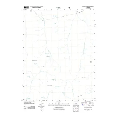
2011 Map of Mount Champion
USGS Topo · Published 2011About this map
Mount Champion stands as the centerpiece of this high-altitude landscape in Pitkin County, where the industrial legacy of the Colorado Rockies is preserved through labels like the Champion Mill and the Champion Mine. This 2011 survey reveals an intricate network of water management and mining history, notably the series of subterranean passages including the South Fork Tunnel, the Chapman Tunnel, and the Charles H Boustead Tunnel. These engineering feats contrast with the primitive alpine terrain defined by peaks such as Twining Peak and Mount Oklahoma.
Find a feature on this map
35 named features on this map. Tap any name to fly to it.
Don’t see what you’re looking for? This feature index may not catch every label — zoom into the map to look around manually.
Map Details
Editions of this 2011 Mount Champion Map
This is the sole edition of this map. No revisions or reprints were ever made.
Other maps of this area

1889 · Leadville
USGS Topo · 1:125,000

1891 · Leadville
USGS Topo · 1:125,000

1909 · Mount Jackson
USGS Topo · 1:125,000

1911 · Mount Jackson
USGS Topo · 1:125,000

1935 · Mount Elbert
USGS Topo · 1:62,500

1938 · Mount Elbert
USGS Topo · 1:62,500

1939 · Mount Elbert
USGS Topo · 1:62,500

1942 · Leadville
USGS Topo · 1:125,000

1949 · Holy Cross
USGS Topo · 1:62,500

1951 · Holy Cross
USGS Topo · 1:62,500