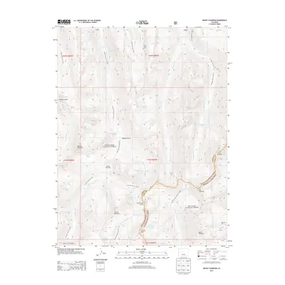
2013 Map of Mount Champion
USGS Topo · Published 2013About this map
Mount Champion and Mount Oklahoma anchor this high-altitude landscape along the Continental Divide, where the headwaters of several major drainages begin their descent. This 2013 survey documents the complex hydrological and transit infrastructure required for water management in the Rockies, featuring the Chapman Tunnel and South Fork Tunnel. These tunnels divert flow between the Fryingpan River and Roaring Fork River systems. Historical mining interest is centered at the Champion Mill, situated at the edge of the San Isabel National Forest.
Find a feature on this map
50 named features on this map. Tap any name to fly to it.
Don’t see what you’re looking for? This feature index may not catch every label — zoom into the map to look around manually.
Map Details
Editions of this 2013 Mount Champion Map
This is the sole edition of this map. No revisions or reprints were ever made.
Other maps of this area

1889 · Leadville
USGS Topo · 1:125,000

1891 · Leadville
USGS Topo · 1:125,000

1909 · Mount Jackson
USGS Topo · 1:125,000

1911 · Mount Jackson
USGS Topo · 1:125,000

1935 · Mount Elbert
USGS Topo · 1:62,500

1938 · Mount Elbert
USGS Topo · 1:62,500

1939 · Mount Elbert
USGS Topo · 1:62,500

1942 · Leadville
USGS Topo · 1:125,000

1949 · Holy Cross
USGS Topo · 1:62,500

1951 · Holy Cross
USGS Topo · 1:62,500