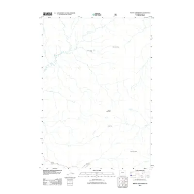
2012 Map of Mount Chittenden
USGS Topo · Published 2012About this map
Mount Chittenden and its surrounding drainage systems define this high-elevation landscape within Park County. The area is characterized by a series of critical mountain crossings that facilitate movement between remote watersheds, including Mist Creek Pass, Jones Pass, and Crow Creek Pass. These gaps serve as natural corridors between the complex networks of Raven Cr, Pelican Cr, and Bear Cr. Human presence is minimal and concentrated around Pelican Springs Cabin, situated near the headwaters of the springs. The mapping of Stonecup Lake and the various tributaries like Astringent Cr and Sedge Cr reveals a terrain defined by its water sources and the natural gaps through the high ridges. This 2012 survey provides a clear view of the hydrological patterns and high-country landmarks that have long guided travelers through this part of Wyoming.
Find a feature on this map
18 named features on this map. Tap any name to fly to it.
Don’t see what you’re looking for? This feature index may not catch every label — zoom into the map to look around manually.
Map Details
Editions of this 2012 Mount Chittenden Map
This is the sole edition of this map. No revisions or reprints were ever made.
Other maps of this area

1885 · Lake
USGS Topo · 1:125,000

1886 · Canyon
USGS Topo · 1:125,000

1895 · Canyon
USGS Topo · 1:125,000

1895 · Lake
USGS Topo · 1:125,000

1896 · Lake
USGS Topo · 1:125,000

1896 · Canyon
USGS Topo · 1:125,000

1901 · Canyon
USGS Topo · 1:125,000

1901 · Lake
USGS Topo · 1:125,000

1906 · Lake
USGS Topo · 1:125,000

1907 · Canyon
USGS Topo · 1:125,000