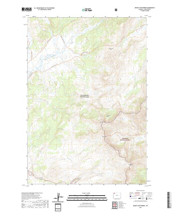
2021 Map of Mount Chittenden
USGS Topo · Published 2021About this map
The Absaroka Range dominates this corner of the Wyoming wilderness, where the high peaks of Mt Chittenden and the winding waters of Pelican Creek meet. In this 2021 survey, the transition between Yellowstone National Park and the Shoshone National Forest is marked by a network of historic backcountry routes and high-altitude crossings. Remote pathways such as the Pelican Springs Cabin Trl and the Raven Creek Cutoff Trl trace the same valleys and passes used by early park explorers. The expansive Pelican Valley and the secluded Stonecup Lake provide a clear view of the complex hydrology at the heart of the park’s eastern plateau, where headwaters for Mist Creek and Jones Cr descend from passes like Mist Creek Pass and Jones Pass.
Find a feature on this map
37 named features on this map. Tap any name to fly to it.
Don’t see what you’re looking for? This feature index may not catch every label — zoom into the map to look around manually.
Map Details
Editions of this 2021 Mount Chittenden Map
This is the sole edition of this map. No revisions or reprints were ever made.
Other maps of this area

1885 · Lake
USGS Topo · 1:125,000

1886 · Canyon
USGS Topo · 1:125,000

1895 · Canyon
USGS Topo · 1:125,000

1895 · Lake
USGS Topo · 1:125,000

1896 · Lake
USGS Topo · 1:125,000

1896 · Canyon
USGS Topo · 1:125,000

1901 · Canyon
USGS Topo · 1:125,000

1901 · Lake
USGS Topo · 1:125,000

1906 · Lake
USGS Topo · 1:125,000

1907 · Canyon
USGS Topo · 1:125,000