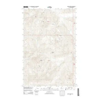
2014 Map of Mount Christie
USGS Topo · Published 2014About this map
The Olympic Mountains dominate this 2014 survey of the central interior of Olympic National Park. This high-altitude terrain is defined by the hydrologic split at Low Divide, where the headwaters of the Elwha River flow north while the N Fork Quinault River begins its descent to the south. The landscape is a series of massive peaks, including Mt Seattle, Mt Noyes, and Mt Christie, which overlook alpine basins such as Martins Park and the isolated Martins Lakes.
Find a feature on this map
25 named features on this map. Tap any name to fly to it.
Don’t see what you’re looking for? This feature index may not catch every label — zoom into the map to look around manually.
Map Details
Editions of this 2014 Mount Christie Map
This is the sole edition of this map. No revisions or reprints were ever made.
Other maps of this area

1935 · Mount Olympus
USGS Topo · 1:62,500

1938 · Mt Constance
USGS Topo · 1:125,000

1942 · Mount Olympus
USGS Topo · 1:62,500

1944 · Mt. Angeles
USGS Topo · 1:62,500

1946 · Mt. Angeles
USGS Topo · 1:62,500

1947 · Mt. Steel
USGS Topo · 1:62,500

1947 · Mt Christie
USGS Topo · 1:62,500

1950 · Mt Christie
USGS Topo · 1:62,500

1950 · Mt. Steel
USGS Topo · 1:62,500

1956 · Mount Olympus
USGS Topo · 1:62,500