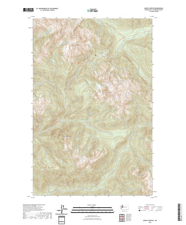
2023 Map of Mount Christie
USGS Topo · Published 2023About this map
The Olympic National Park and surrounding Olympic Wilderness dominate this high-elevation mountain terrain, where the peaks of the Olympic Mountains form a significant hydrographic divide. This area is characterized by the headwaters of two major river systems: the North Fork Quinault River flowing southwest and the Elwha River flowing northeast. The high point of Low Divide serves as a critical pass between these drainages, accompanied by the alpine waters of Lake Mary and Lake Margaret.
Find a feature on this map
31 named features on this map. Tap any name to fly to it.
Don’t see what you’re looking for? This feature index may not catch every label — zoom into the map to look around manually.
Map Details
Editions of this 2023 Mount Christie Map
This is the sole edition of this map. No revisions or reprints were ever made.
Other maps of this area

1935 · Mount Olympus
USGS Topo · 1:62,500

1938 · Mt Constance
USGS Topo · 1:125,000

1942 · Mount Olympus
USGS Topo · 1:62,500

1944 · Mt. Angeles
USGS Topo · 1:62,500

1946 · Mt. Angeles
USGS Topo · 1:62,500

1947 · Mt. Steel
USGS Topo · 1:62,500

1947 · Mt Christie
USGS Topo · 1:62,500

1950 · Mt Christie
USGS Topo · 1:62,500

1950 · Mt. Steel
USGS Topo · 1:62,500

1956 · Mount Olympus
USGS Topo · 1:62,500