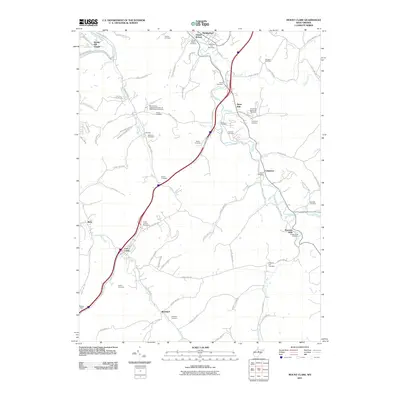
2011 Map of Mount Clare
USGS Topo · Published 2011About this map
Elk Creek and its many tributaries, including Zachs Run and Fall Run, carve through the Harrison County hills south of Stonewood. This landscape is defined by a dense concentration of family and community burial grounds, reflecting the deep ancestral roots of the region's inhabitants. One particularly notable site is the Mount Clare Independent Order of Odd Fellows Cemetery, which stands as a landmark of fraternal organization history alongside more traditional church yards like Brick Church Cemetery.
Find a feature on this map
89 named features on this map. Tap any name to fly to it.
Don’t see what you’re looking for? This feature index may not catch every label — zoom into the map to look around manually.
Map Details
Editions of this 2011 Mount Clare Map
This is the sole edition of this map. No revisions or reprints were ever made.
Other maps of this area

1902 · Clarksburg
USGS Topo · 1:62,500

1902 · Fairmont
USGS Topo · 1:62,500

1904 · Philippi
USGS Topo · 1:62,500

1904 · Weston
USGS Topo · 1:62,500

1910 · Clarksburg
USGS Topo · 1:62,500

1923 · Fairmont
USGS Topo · 1:62,500

1923 · Clarksburg
USGS Topo · 1:62,500

1925 · Clarksburg
USGS Topo · 1:62,500

1925 · Philippi
USGS Topo · 1:62,500

1926 · Fairmont
USGS Topo · 1:62,500