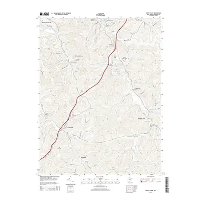
2014 Map of Mount Clare
USGS Topo · Published 2014About this map
Mount Clare and Lost Creek anchor this Harrison County landscape, where the winding waters of Elk Creek and Gnatty Creek have shaped the settlement patterns of north-central West Virginia. The area is dense with family and community burial grounds, from the Mt Clare Independent Order of Odd Fellows Cem to the Brick Church Cem, providing a detailed record for genealogical study. The terrain is defined by its drainages, including Brushy Fork and Suds Run, which dictate the paths of local routes like Rockford Rd and Chubb Run Rd.
Find a feature on this map
95 named features on this map. Tap any name to fly to it.
Don’t see what you’re looking for? This feature index may not catch every label — zoom into the map to look around manually.
Map Details
Editions of this 2014 Mount Clare Map
This is the sole edition of this map. No revisions or reprints were ever made.
Other maps of this area

1902 · Clarksburg
USGS Topo · 1:62,500

1902 · Fairmont
USGS Topo · 1:62,500

1904 · Philippi
USGS Topo · 1:62,500

1904 · Weston
USGS Topo · 1:62,500

1910 · Clarksburg
USGS Topo · 1:62,500

1923 · Fairmont
USGS Topo · 1:62,500

1923 · Clarksburg
USGS Topo · 1:62,500

1925 · Clarksburg
USGS Topo · 1:62,500

1925 · Philippi
USGS Topo · 1:62,500

1926 · Fairmont
USGS Topo · 1:62,500