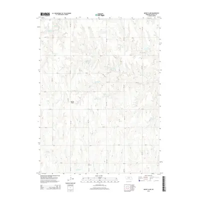
2014 Map of Mount Clare
USGS Topo · Published 2014About this map
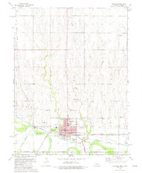
Mount Clare sits at the center of this rural Nuckolls County landscape, where the agricultural grid of the Great Plains is defined by a series of numbered and lettered section roads. The terrain is deeply carved by watercourses, most notably Cottonwood Cr, Middle Cr, and Elk Cr, which create the undulating topography characteristic of this part of southern Nebraska. A significant number of private impoundments dot the drainage basins, including Hoelting Reservoir, Buschkoetter Reservoir, and Childress Reservoir, reflecting the vital role of water management in this farming and ranching district. For those researching local roots, the Beulah Cem stands as a primary genealogical landmark along Road 2900, south of the main settlement. The distribution of these reservoirs and the persistence of the original township road system provide a clear view of land use and property boundaries in the early 21st century.
Find a feature on this map
32 named features on this map. Tap any name to fly to it.
Don’t see what you’re looking for? This feature index may not catch every label — zoom into the map to look around manually.
Map Details
Editions of this 2014 Mount Clare Map
This is the sole edition of this map. No revisions or reprints were ever made.
Other maps of this area

1898 · Superior
USGS Topo · 1:125,000

1955 · Grand Island
USGS Topo · 1:250,000

1957 · Grand Island
USGS Topo · 1:250,000

1958 · Grand Island
USGS Topo · 1:250,000
1960 · Fairfield SE
USGS Topo · 1:24,000

1960 · Deweese
USGS Topo · 1:24,000

1969 · Lawrence
USGS Topo · 1:24,000
1974 · Guide Rock
USGS Topo · 1:24,000
1974 · Mount Clare
USGS Topo · 1:24,000
1974 · Superior
USGS Topo · 1:24,000