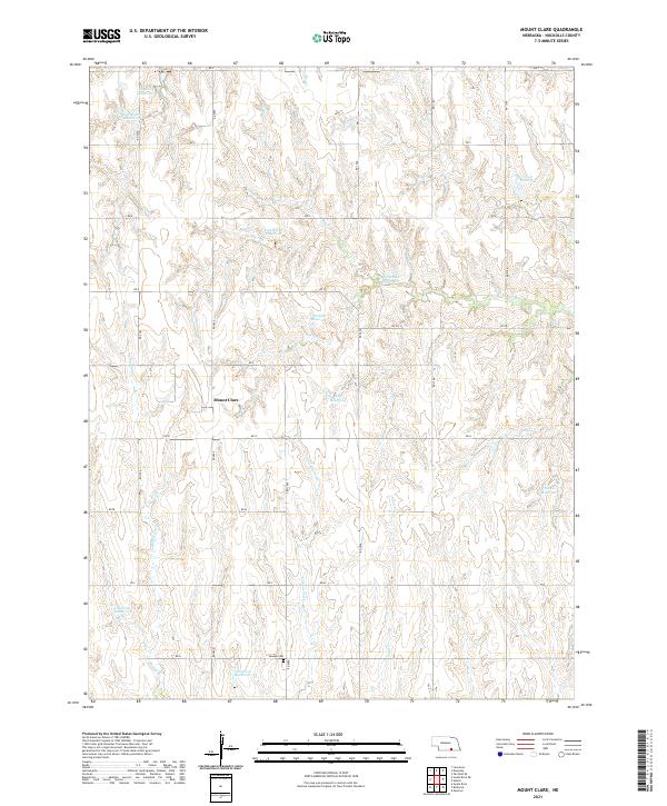
2021 Map of Mount Clare
USGS Topo · Published 2021About this map
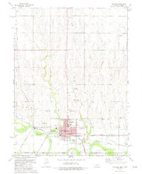
Mount Clare is the primary settlement on this Nebraska landscape, situated in the rolling drainage of Cottonwood Cr and Middle Cr. The area is characterized by a sophisticated network of small-scale water management, evidenced by numerous family-named reservoirs such as Childress Reservoir, Walden Reservoir, and Hoelting Reservoir. These features, alongside Buschkoetter Reservoir and Lyon Reservoir, indicate the agricultural necessity of water storage in this section of Nuckolls County. For genealogists and local historians, the Beulah Cem south of the main township provides a specific point of interest for family research. The terrain is partitioned by a strictly organized grid of rural routes ranging from RD T in the north down to RD K at the southern boundary, reflecting the enduring legacy of the Public Land Survey System in organizing the prairie landscape.
Find a feature on this map
31 named features on this map. Tap any name to fly to it.
Don’t see what you’re looking for? This feature index may not catch every label — zoom into the map to look around manually.
Map Details
Editions of this 2021 Mount Clare Map
This is the sole edition of this map. No revisions or reprints were ever made.
Other maps of this area

1898 · Superior
USGS Topo · 1:125,000

1955 · Grand Island
USGS Topo · 1:250,000

1957 · Grand Island
USGS Topo · 1:250,000

1958 · Grand Island
USGS Topo · 1:250,000
1960 · Fairfield SE
USGS Topo · 1:24,000

1960 · Deweese
USGS Topo · 1:24,000

1969 · Lawrence
USGS Topo · 1:24,000
1974 · Guide Rock
USGS Topo · 1:24,000
1974 · Mount Clare
USGS Topo · 1:24,000
1974 · Superior
USGS Topo · 1:24,000